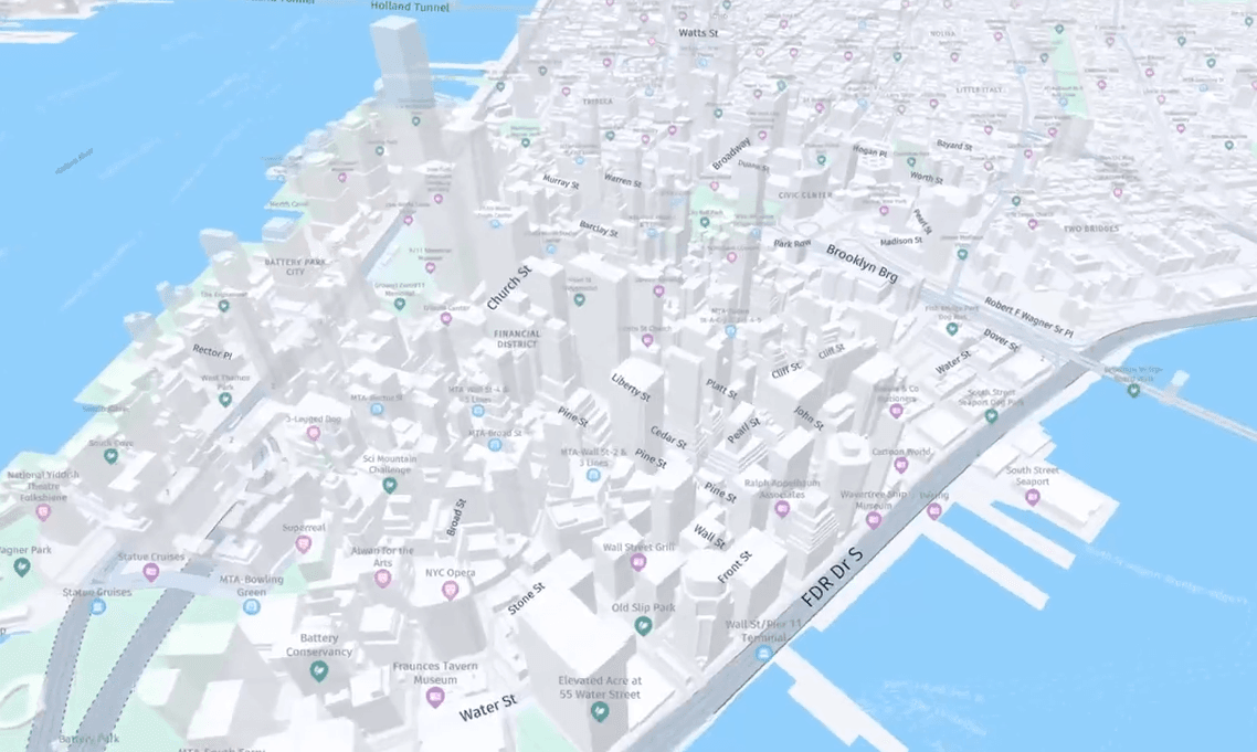
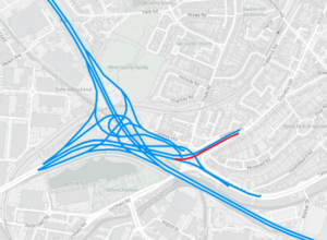
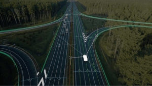
For logistics and fleet operations, customizable graphics and real-time map data can make all the difference. HERE’s maps use contextual and intuitive map displays powered by unique map attributes, including millions of real-time updates across the globe.
HERE Map Rendering consists of a suite of powerful APIs that enable you to create interactive solutions tailored to your business. Whether you need to visualize complex logistics networks or enhance route planning, our APIs provide flexibility, letting you customize map styles, display real-time traffic, or even create multi-language, region-specific views.
HERE Location Services enable map display for over 200 countries and territories around the world. They provide access to accurate, comprehensive and highly interactive maps, in a variety of traditional and specialized views. They’re also available with different zoom levels and display options, thanks to map imaging, and map and vector tiling technologies. Enable visualization, interaction and styling of HERE Map Rendering. Use custom map data for multiple screens, devices, and platforms.
Map Rendering enables map visualization via a variety of rendering technologies: client side, with HERE or third-party rendering libraries utilizing vector tiles, or through pre-rendered map tiles or images. In addition, our mapping capability allows for a fluid interaction with the map, while panning/zooming across various views at varying resolutions. This means your users can better understand and interact with the world. It enables the display of various elements such as polygons, labels, images and other objects. And for those customers in need of deep levels of map customization at the client side, it provides easy ways to configure the look and feel of your map by changing its color, icon size, width, length and removing/adding objects such as buildings, land features and roads.
Advanced Customization Capabilities
Enable users to customize map appearance by importing, styling and displaying data towards specific customer use cases or brand guidelines.
Global and local UI
Discover high-quality maps with worldwide coverage in over 200 countries, native to fit your application’s look and feel
Fleet Map Style & Truck Attributes
Gain visibility over your supply chain, fleets and assets and reduce costs of delays
with precise and global truck maps
Real time map data
Access contextual and intuitive map displays powered by unique map attributes, with millions of real-time updates across the globe.


