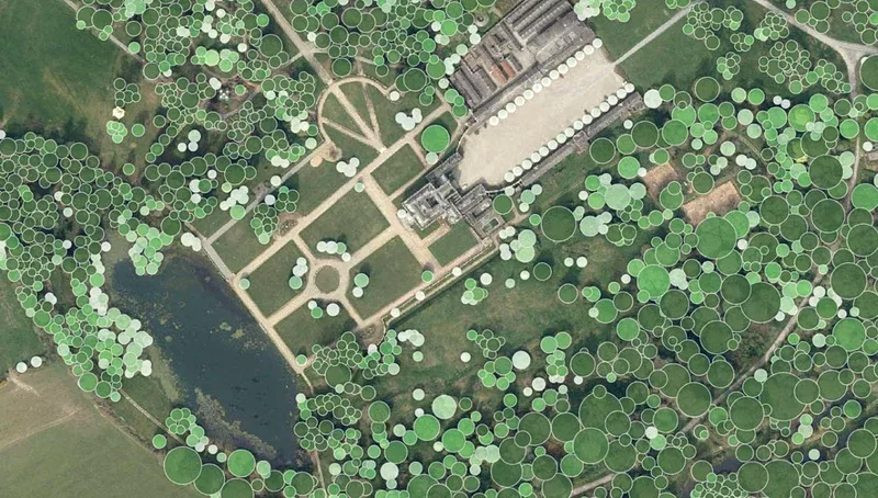
Waterford City and County Council use Bluesky National Tree Map Data to support carbon neutral ambitions

Data from Bluesky International’s National Tree Map is being used by Waterford City and County Council to help benchmark current tree cover across the city and to look at suitable tree planting sites as it progresses with its target to become Ireland’s first decarbonised city. Derived from high resolution aerial photography, Bluesky’s National Tree Map […]


