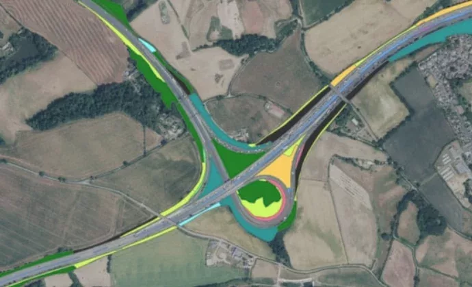
National Highways’ green mapping project to boost biodiversity on England’s motorways and A-roads

National Highways is set to use artificial intelligence and satellite mapping to help track changes in habitats and biodiversity. Using the new state-of-the-art mapping tool will make it easier for National Highways to keep track of its Soft Estate ecosystems bordering the country’s 4,300 miles of motorways and major A-roads. Over the last 10 to […]

