
New model of England’s motorways and A roads to lead to safer and more efficient journeys
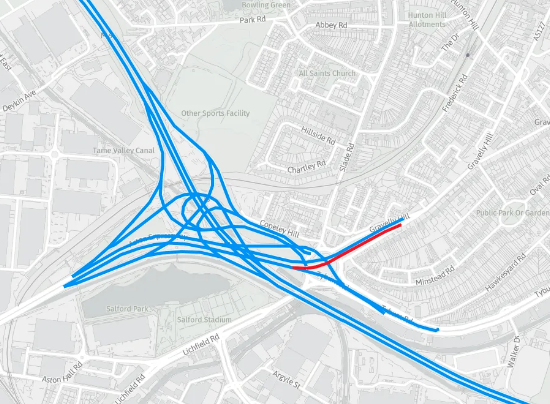
The launch of the National Highways Network Model has heralded the start of a strategic partnership with Ordnance Survey. Trusted data from Ordnance Survey (OS) has provided the foundation for a new and innovative National Highways (NH) model of more than 4,500 miles of motorways and A roads in England. This new digital representation of […]
HERE focused on creating a digital representation of reality
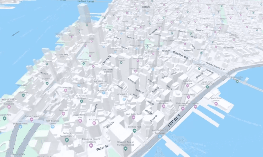
For logistics and fleet operations, customizable graphics and real-time map data can make all the difference. HERE’s maps use contextual and intuitive map displays powered by unique map attributes, including millions of real-time updates across the globe. HERE Map Rendering consists of a suite of powerful APIs that enable you to create interactive solutions tailored […]
Deeper Underground: UK tech startup Delta.g appoints experienced CEO

Delta.g, the deep tech startup creating quantum enabled gravity gradiometry solutions to deliver the‘Google Maps for the underground’ has appointed Tony Lowe as Chief Executive Officer to furtheraccelerate the commercial application of its technology. A UK technology startup veteran, Lowe has played a leading role in the development, delivery andcommercialisation of cutting-edge technology globally over […]