
NUAR maps over 3.2m km of buried Britain
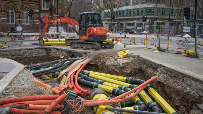
Ordnance Survey has announced that over 70% of local authorities and 90% of highways authorities have signed up to share data on their critical underground assets on the National Underground Asset Register (NUAR), with authorities already reporting time and efficiency savings of 75%. NUAR is a government digital service that provides secure, instant access to a […]