Google has issued a new support page explaining how it’s using images from dashcams to keep maps “fresh and up to date”.
It says it is working with trusted third-party companies which gather imagery in the form of short videos from commercial and consumer dash cam manufacturers. Google uses imagery to detect and verify real-world changes, such as speed limit updates and new traffic signs.
It adds it does not publish this imagery.
“Google licenses imagery in the form of short, silent video clips from vehicle dash cams from trusted third-party companies,” the page explains. “These companies use dash cams in their own everyday operations. For example, they may use them to collect imagery for accident investigations, or they may sell such devices to consumers. With contributor consent, these companies share imagery with trusted partners like Google to help update Google Maps, or as a first step in making road improvements.”
Google says it only requests imagery in areas where it thinks a map update is needed, such as a specific stretch of road that includes a speed limit sign. If the partner has recent imagery of this stretch of road, Google can use it to help update the speed limit shown in Maps.
To identify map-related details such as new speed limit signs, Google uses a combination of Artificial Intelligence and help from its operations team. It extracts the info and updates Google Maps before deleting the imagery.
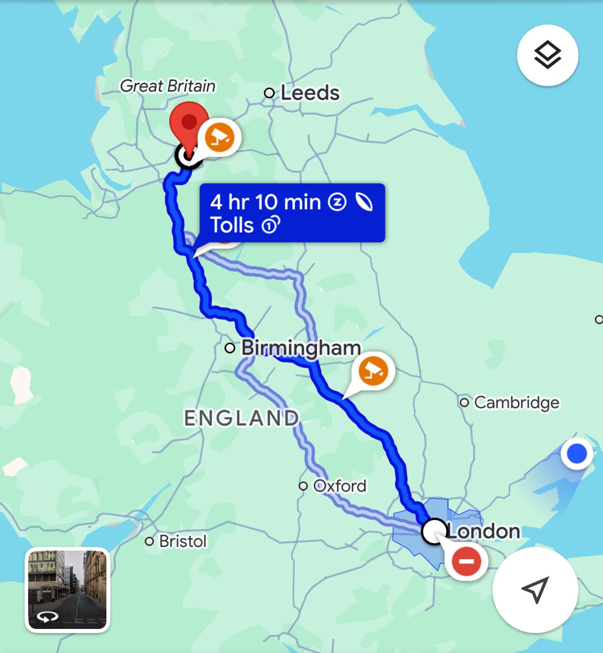
(Picture – Screenshot of Google maps)


