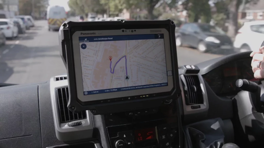
Ambulances set to benefit from new in-cab mapping technology

A new in-cab navigation application, underpinned by Ordnance Survey mapping, will be rolled out across all Ambulance Trusts in the country with the aim of improving patient care and at-scene response times. The Ambulance Radio Programme was established by the Association of Ambulance Chief Executives and the Department of Health and Social Care to deliver […]
Ordnance Survey announces ITS (UK) membership

Ordnance Survey has announced it has become a corporate member of the country’s Intelligent Transport Systems Industry Association, ITS (UK), saying joining builds on its ongoing work in supporting customers in the transport and future mobility industries. It says accurate location data has become a crucial asset for these sectors and supports many areas of […]
Ordnance Survey makes new suite of APIs available for public sector access to help with planning

Ordnance Survey (OS) has made a new suite of APIs will be available for the public sector to access and use for free to support their many projects. With government transport policy committed to investing in thousands of miles of new road and rail infrastructure, location data will continue to play a key part in getting […]


