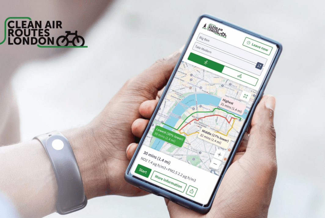
Westminster City Council has launched Clean Air Routes London, a free interactive map to help residents, workers, and visitors travel around Greater London using routes with the best available air quality.
The new tool encourages people to leave their cars behind and explore London on foot or by bike – while choosing roads which minimise exposure to harmful air pollution.
Developed in partnership with Cambridge Environmental Research Consultants (CERC) and supported by the Department for Environment, Food and Rural Affairs (DEFRA), Clean Air Routes London uses forecast air quality data, including information from our own sensor network.
By entering a start and end point, the tool generates up to three route options. Each route displays pollution levels along the way, with the platform recommending the option with the lowest exposure to a range of different pollutants.
Air pollution remains one of London’s most pressing health challenges, with long-term exposure linked to asthma, lung cancer, strokes, heart disease and more. The impacts are felt most acutely by older adults, children, and those with respiratory or cardiovascular conditions.
The launch forms part of Westminster’s Air Quality Action Plan 2025–2030, underlining the Council’s commitment to promoting active travel and sustainable travel.
Cllr Geoff Barraclough, Cabinet Member for Planning & Economic Development, said:
“Air pollution is one of the biggest health problems in London, especially for people living near main roads. We’re working hard to cut emissions and improve air quality, and this tool is another way reduce people’s exposure to the harmful pollutants.
“Clean Air Routes London shows how innovative technology can help address environmental challenges and improve quality of life. Whether you’re walking to school, cycling to work, or enjoying the city’s cultural attractions, Clean Air Routes London lets you choose a healthier way to travel.”
Amy Stidworthy, Associate Director for Forecasting and Data Services at CERC, said:
“We are delighted that CERC’s innovative tools are helping the Council highlight cleaner, healthier walking and cycling routes by ranking journeys based on air pollution exposure, using hyperlocal real-time and forecast data from airTEXT.”
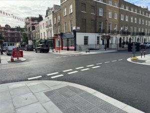
(Pic: City of Westminster)