A new report by leading connected vehicle expert Andy Graham of White Willow Consulting is highlighting how many of the opportunities to improve the transport network’s safety and efficiency risk being delayed or missed completely if the issue of who pays for use of such data is not quickly addressed.
Mr Graham’s report for the RAC Foundation, following up on a study from 2020, shows how data collected from connected vehicles can be used to help identify dangerous stretches of road before anyone is killed or seriously injured on them.
That’s one of the many valuable applications he identifies of data collected by cars and other vehicles including cycles as they use the road network.
The Chair of the Transport Technology Forum Connected Vehicle Working Group also points to how trials are already being run where connected vehicles generate data about extreme driving manoeuvres – such as harsh braking –accurately geolocated to particular points on the road network. This allows highway engineers the potential to look at those locations where there are early indications of emergency manoeuvres and identify the cause.
This could be a hidden junction, regularly queueing traffic or even a damaged road surface, and crucially, resources could then be targeted on maintaining the road or changing its layout before a serious crash occurs.
Steve Gooding, director of the RAC Foundation, said: “Few people would disagree that prevention is better than cure, yet whilst a great deal is known about those locations where fatal or serious crashes have already occurred the road safety world has long wanted to know more about the cause and locations of the near misses which could point to places where a serious crash is just waiting to happen in time to do something about it.
“Connected vehicles can change that. They are routinely generating data, access to which could identify those sites where drivers, and indeed cyclists, might be forced to brake harshly or steer violently because the road layout is throwing up unexpected and dangerous situations.
“When this pattern of behaviour is seen repeatedly at certain locations it means highways authorities can check whether they need to change road layouts or manage risk – by changing the speed limit for example – before someone gets hurt.
“The possibilities thrown up by connected vehicles go far beyond road safety, but while many individual local authorities are exploring options it must be for government to take the lead nationally if we are ever to move beyond showcase pathfinder projects to widespread, or universal, application.
“Whilst many of the good ideas which warrant trialling may offer purely commercial opportunities, others are likely to require some public funding – if only as seed corn, or to resource key building blocks of a data architecture such as creating a comprehensive digital record of Traffic Regulation Orders that document things like speed limits.”
Andy Graham added: “The core issue that this updated report focuses on is funding – the challenge of matching who benefits with who pays?
“Services that improve road safety or reduce emissions deliver a societal benefit that is hard to recoup from a direct charge to drivers, in the same way road signs are not directly funded by the people relying on them. Hence, not all services have a clear, commercial revenue stream.
“This isn’t just about a plea for funding – it is about the way funding could move away from a myriad of trials toward connected-vehicle data becoming a routine, integral part of improved highway management. This should include a move from funding further away autonomy to delivering better roads from better connectivity today.”
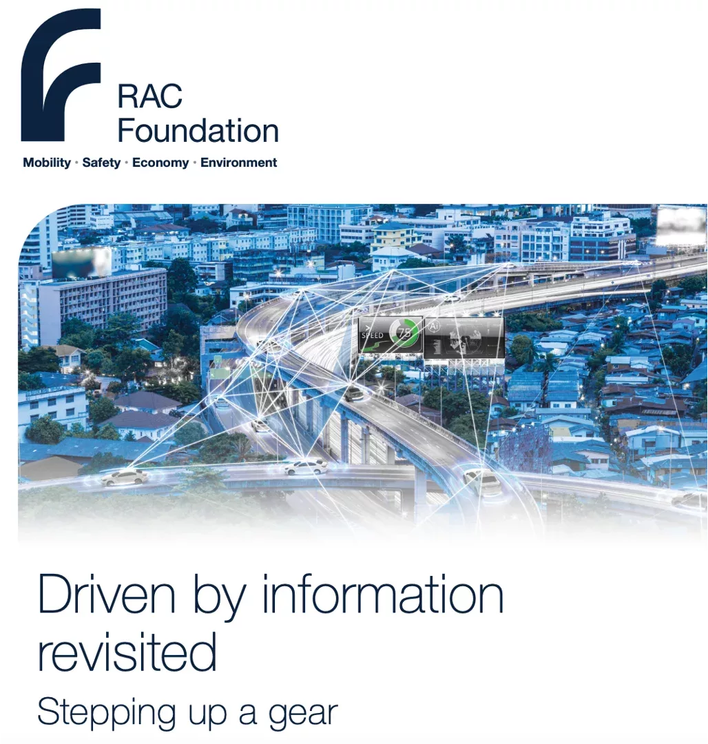
According to the report – Driven by information revisited – a connected vehicle is one which can “generate, transmit and receive/process data.”
The connection can be with “other road users and vehicles, with infrastructure, and with vehicle manufacturers, data providers, insurers and services like mapping and satnav companies.” It will usually be made over the mobile data network.
The data generated might include road conditions, traffic conditions, emergency alerts and driver behaviour.
Other illustrative applications mentioned in the report include:
- In-Vehicle Signing (IVS), displaying road signs and warnings to the driver inside the vehicle;
- Green Light Optimal Speed Advisory (GLOSA), which tells drivers how to adopt driving to pass through the next traffic lights on green;
- using eCall data from cars and vans to rapidly identify stopped and crashed vehicles from their airbag activations;
- using vehicle-generated data to improve traffic light timings;
- using vehicle-generated data to improve road maintenance planning; and
- using real-time traction data to identify slippery roads in winter so they can be treated.
Read the full report here.
(Picture – RAC Foundation)


