Recent upgrades to Cambridgeshire County Council’s traffic and parking management system have created a more connected and sustainable city in several ways:
Through SWARCO’s MyCity platform, Cambridgeshire has unified 120+ traffic and parking assets into a single, intelligent system, improved traffic flow using real-time data and Floating Car Data insights, reduced congestion and enhanced air quality with automated traffic strategies and empowered decision-making with journey time analytics and historical data.
MyCity’s phased migration approach ensured a smooth transition, allowing the Council to gain confidence at every step.
Now, with real-time monitoring and predictive traffic management, Cambridge is on a path to a smarter, more sustainable urban future. This project demonstrates how innovative traffic technology can make cities more livable, accessible, and efficient.
Cambridgeshire County Council is also utilising the MyCity Journey Time functionality to visualize and access real-time data reports on average, minimum and maximum journey times throughout the city and surrounding area. Data can be gathered either by detectors or by third-party data providers, without the need of having any extra hardware installed on the streets. It identifies traffic delays on routes using color-coded maps and allows for analysis of historical data. Currently, the Council has got 10 journey time links, covering the most frequented travel routes. This is supported by Floating Car Data to provide a more accurate view of real-life journeys, factoring in exceptions like route deviations, helping cities to improve traffic flow on congested routes.
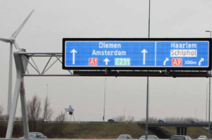
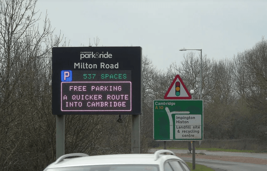
By collecting journey times and floating car data, MyCity’s strategy manager function gives Cambridgeshire County Council the ability to use data to implement automated traffic management strategies. Based on predefined thresholds, the system can, for instance, automatically send messages to traffic signs to warn road users about congestion in specific areas of the city or advise on parking space availability. For example, if the average travel time from journey link A to journey link B is 10 minutes on a normal day, but the floating car data reports that today it is actually taking a minimum of 15 minutes, the system automatically triggers a message which will be displayed on predefined connected devices with real-time traffic updates, helping to advise drivers in advance.