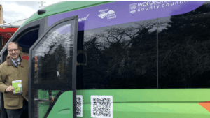
A new app is now available in Worcestershire, which provides real-time information to help improve the way people travel across multiple forms of transport.
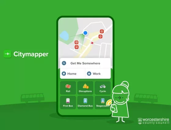
The Citymapper app brings together information to provide seamless journey planning across public transport, walking, cycling and more.
Worcestershire County Council is partnering with Citymapper to provide access to the transport app, which allows users to get live wait and travel times, journey planning across various modes of transport, routing features that allow journeys to be selected on cost, speed and amount of walking and a live map to track the progress of services.

Councillor Mike Rouse, Worcestershire County Council’s Cabinet Member for Highways and Transport, said: “As a long-time user of Citymapper, it’s fantastic that we’ve been able to bring Worcestershire’s public transport data into the app. I have seen first-hand the difference it can make in other parts of the country and across the world, and how useful it is to have all modes of transport within one app, including our superb On Demand buses.
“As a Council, we’re always looking for ways to improve access to public transport and ensure that people are able to choose to make a modal shift away from the car wherever practical and possible – and this all-in-one app will empower people to do just that.”
Worcestershire has become the latest area to offer the new app, following many of the major cities across the UK and in Europe.
Victoria Markewitz, Citymapper’s partnerships director, said: “We are excited that Citymapper will be an integral part of the transit system in Worcestershire. We’ve seen the power of great journey planning tools to get people into public transport, and out of their private vehicles.”