
A group of leading tech companies have come together to deliver an open map dataset aimed at providing app developers with free geographical data, and take on Google and Apple Maps.
Amazon, Meta, Microsoft, and TomTom have jointly launched the Overture Maps Foundation, collaborating “to enable current and next-generation interoperable open map products, today announced the release of its first open map dataset”.
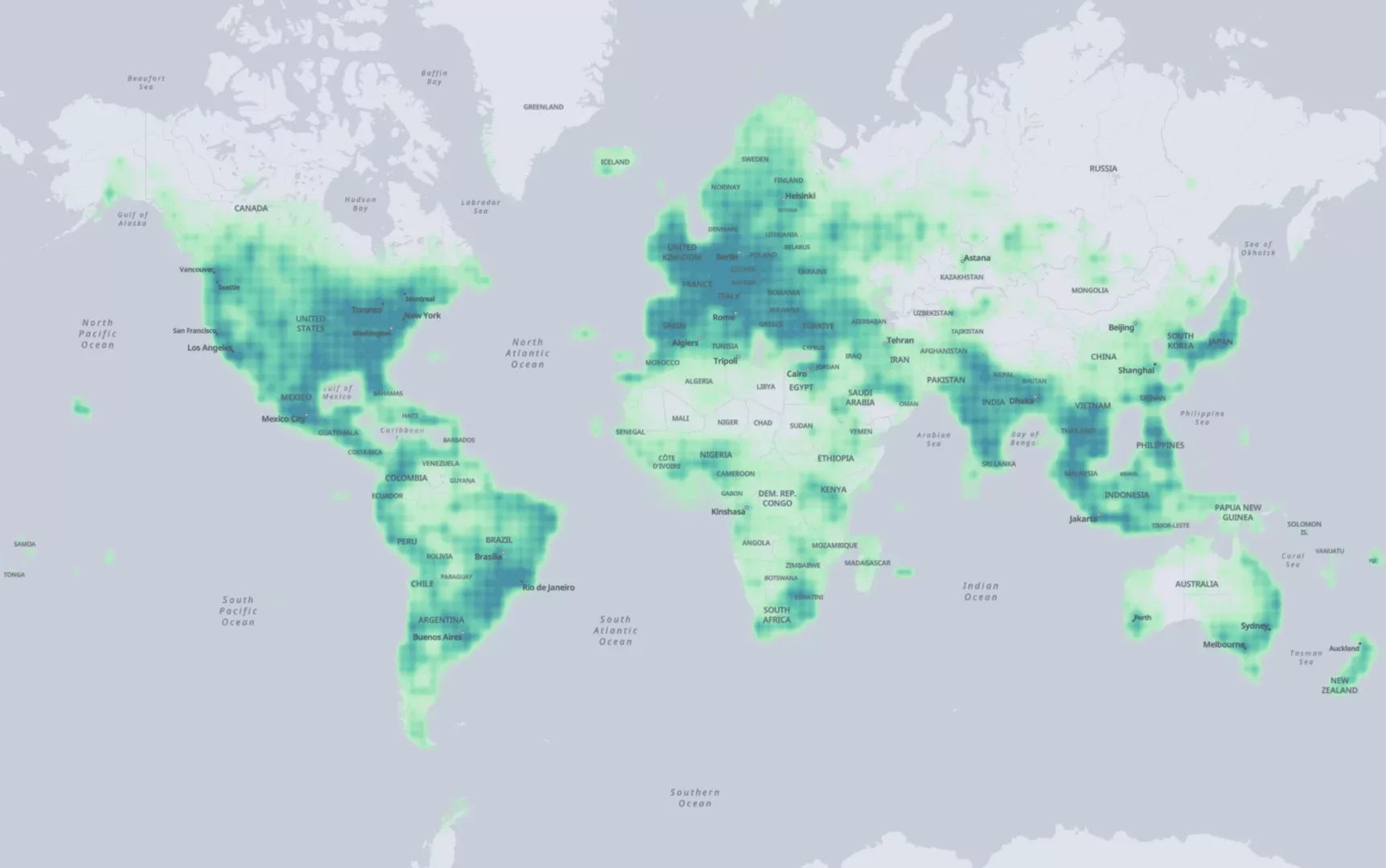
The Overture 2023-07-26-alpha.0 release includes four unique data layers: Places of Interest (POIs), Buildings, Transportation Network, and Administrative Boundaries. The Foundation says these layers, which combine various sources of open map data, have been validated and conflated through a series of quality checks, and are released in the Overture Maps data schema which was released publicly in June 2023. The Places dataset includes data on over 59 million places worldwide and will be a foundational element of navigation, local search, and many other location-based applications.

The datasets are available for download at https://overturemaps.org/download/.
Founded in December 2022 by Amazon Web Services (AWS), Meta, Microsoft, and TomTom, Overture today includes more than a dozen mapping, geospatial, and technology companies, including new members ESRI, Cyient, InfraMappa, Nomoko, Precisely, PTV Group, SafeGraph, Sanborn, and Sparkgeo. The collaboration is based on the premise that map data needs to be a shared asset to support future applications. As the requirements for accuracy, recency, and attribution in maps have grown to meet user needs, the costs and complexities of collecting and maintaining global map data have grown beyond the capability of any single organisation.
“The Overture 2023-07-26-alpha.0 release is a significant step in establishing a comprehensive, market-grade open map dataset for our constantly changing world. The Places dataset, in particular, represents a major, previously unavailable open dataset, with the potential to map everything from new businesses big and small to pop-up street markets located anywhere in the world,” said Marc Prioleau, executive director of Overture Maps Foundation. “Anyone who works in mapping knows that the initial data is just the beginning; the ongoing challenge lies in maintaining the data amidst constant changes to meet user expectations. Overture plans to build a broad collaboration that can build and maintain an up-to-date, comprehensive database of POIs.”
In the new dataset, there are four unique data layers.
- Places of Interest: OMF’s Places data layer includes over 59 million POI records that have not previously been released as open data. This dataset, derived from data contributed to OMF by founding members Meta and Microsoft, provides a significant baseline of worldwide places data. The Overture community will combine the best data from all available resources, including open government data, crowdsourced local mapping data, AI/ML techniques and more to improve, update and extend the data on an ongoing basis. The Places dataset is licensed under CDLA Permissive v2.0, a permissive open data license, and can be freely used by any map builders or location service providers.
- Buildings: The OMF’s Buildings layer includes over 780M unique buildings footprints worldwide. This layer has been developed by combining various open data projects including OpenStreetMap, Microsoft AI-Generated building footprints, and Esri.
- Transportation: The OMF’s Transportation layer represents a worldwide road network derived from data in the OpenStreetMap project. This community-built data has been recast into the Overture data format which provides consistent segmentation of the data and a linear reference system to support additions of data such as speed limits or real-time traffic.
- Administrative Boundaries: A global open dataset of national and regional administrative boundaries, this boundary data includes regional names which have been translated into over 40 different languages to support international use.
All data layers have been formatted in the OMF’s recently launched data schema, which is designed to allow map services developers to ingest and use map data in a standard, documented way and will be interoperable.
OMF is releasing the data publicly to solicit feedback from the public. Feedback can be submitted on GitHub or by email at [email protected]. Future releases will integrate new sources of open data, further transformation of these data layers into the OMF schema, and implementation of the Global Entity Reference System, a system of stable IDs that allows data to be consistently added to features on the map.
(Picture – Overture)