
Surrey County Council is using Connected Vehicle data to measure speeds at 1,339 sites as part of its Speed Management Plan, replacing traditional surveys using radar equipment and automatic traffic counters (ATCs).
The new approach, provided by Compass IoT, allows the council to obtain speed data on demand without installing and retrieving physical equipment at individual sites, reports Road Safety GB.
Previously, traditional surveys could take up to three weeks per site and cost between £500 and £1,500, according to Compass IoT. The time and cost involved limited how frequently Surrey could assess speeds and respond to the findings.
Under the new approach, Surrey provides the coordinates of each survey location. AI then converts these into a mapped road segment, with data from vehicles that have already travelled along the route used to calculate average and 85th percentile speeds.
The data covers the full road segment rather than a single measurement point, allowing the council to capture variations in vehicle speeds along the route.
Surrey County Council’s speed management and camera enforcement team leader, Matt Walsh, said:
“Now we don’t need to wait weeks to get speeds for our roads. This new dataset is available instantly, and replaces the need for traditional speed surveys; it allows us to make faster and more informed decisions.”
Before adopting the new data source, Surrey tested it against the survey methods it was already using.
According to Compass IoT, the council found that Connected Vehicle speeds aligned with ATC measurements and were more accurate than speeds recorded using radar.
The approach also allows Surrey to move from periodic speed surveys towards more continuous monitoring.
A traditional annual survey provides a snapshot of speeds on the days when equipment is deployed, while recurring analysis of Connected Vehicle data can show how speeds change over a longer period.
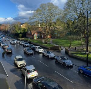
(Picture: Dedmitay)