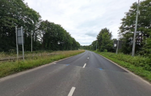
All street data in Great Britain is now in one single dataset for the first time, after data from the Scottish Street Gazetteer has been integrated into the Ordnance Survey (OS) MasterMap Highways Network and Open USRN (unique street reference numbers).
This has seen a collaboration between the Geospatial Commission, Scottish Government and Scotland’s Improvement Service, enabled by the Public Sector Geospatial Agreement (PSGA).
OS said the expanded dataset will be free to all through the OS Data Hub. It added that the move is likely to be of particular benefit to public sector organisations working cross-border between England and Scotland.

The organisations said that the new dataset, will help local authorities and other highway and transport organisations with planning asset management, community transport and emergency services, with users being able to identify the authority responsible for a road and find valuable information to support planning schemes. The Improvement Service said the information can be used for routing and network analysis, potentially delivering savings through route optimisation and management of assets.
The OS Open USRN product will now also include the USRNs from the Scottish Street Gazetteer with associated generalised geometry.
OS Director of National Mapping Services, John Kimmance, said: “This development means that OS can now offer the most comprehensive view of Britain’s road network yet, and will enable a wide range of services to be delivered more efficiently and consistently across the whole region.
“Delivered through the Geospatial Commission’s Public Sector Geospatial Agreement this is illustrative of OS’s strong commitment to providing continued access to world leading location data.”
The Scottish Government’s chief data officer, Albert King, said: “Integrating Scottish data from the Scottish Street Gazetteer into OS MasterMap Highways Network and OS Open USRN will create a single authoritative view of the road network. This data already underpins many of our public services and we welcome the opportunity to make it available more widely to help create value in our services and economy.”