
Lincolnshire Resilience Forum prepares for emergencies with digital twins and drones
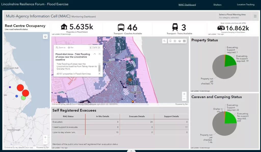
Lincolnshire Resilience Forum (LRF) has gone live with new geospatial and drone technology from Esri UK to help it better prepare for emergencies across the county, including flooding, loss of critical infrastructure, pandemics or severe weather. Image recognition and drone software are among new applications helping to create real-time intelligence and an improved understanding of […]
Companies come together to compete with Apple and Google maps
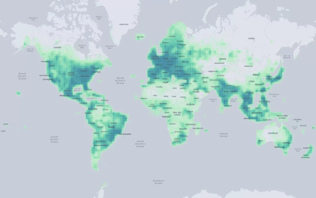
A group of leading tech companies have come together to deliver an open map dataset aimed at providing app developers with free geographical data, and take on Google and Apple Maps. Amazon, Meta, Microsoft, and TomTom have jointly launched the Overture Maps Foundation, collaborating “to enable current and next-generation interoperable open map products, today announced […]
Esri UK’s annual conference returns to London’s QEII Centre after two virtual years

Global GIS company Esri has announced the full programme for its forthcoming UK annual conference and exhibition on 17 May 2022, including speakers from Arcadis, Jacobs, Argent Related, Centre for Digital Built Britain and National Highways. After two years as a virtual event, the conference returns this year to London’s QEII Centre, showcasing innovative customer examples of GIS in action […]
Amazon launches location rival to Google
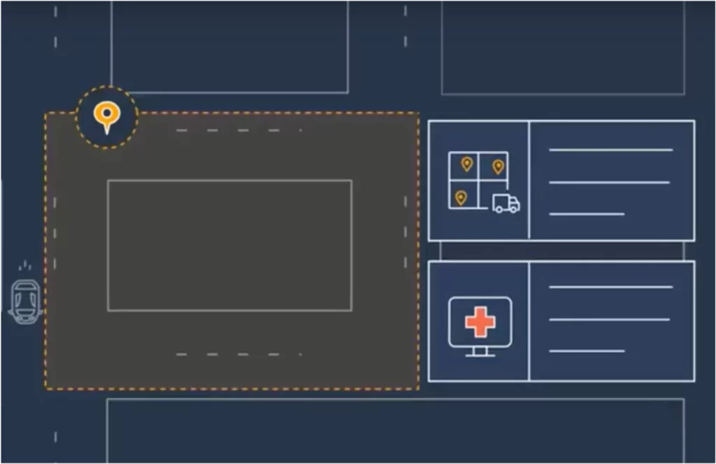
Amazon’s web services division has launched a new service which it says will make it easier and more cost-effective for customers to add location functionality to their applications “without compromising on user privacy or data security”. Amazon Location Service allows customers to embed location functionality in their applications using data from Esri and HERE Technologies […]
Highways asset management specialist Symology wins global Esri partner award
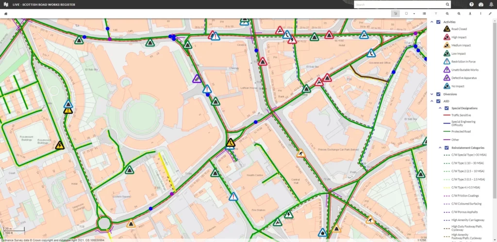
Esri UK partner Symology has been recognised in the global Esri Partner Network awards, for its achievements using cloud-based GIS, by winning an ArcGIS Adoption Award. The awards took place during the virtual annual Esri Partner Conference and showcased the innovative work of 26 companies, selected from over 2,700 Esri partners worldwide. A major player […]
Esri UK partners with Heliguy to create end-to-end drone solution
Esri UK has announced a new partnership with drone specialists Heliguy to complete its end-to-end drone solution designed for the architecture, engineering and construction (AEC) industry. It says this is “the final piece” in its UK strategy to offer all parts of the drone workflow. The partnership will provide customers with drone hardware, pilot training and […]