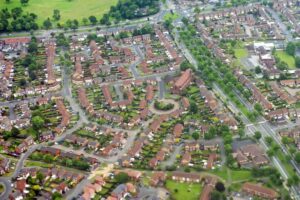
People in West Yorkshire are being given the opportunity to influence decisions on road design by using a new interactive map.
It allows people to highlight issues they’re experiencing when travelling by bike or on foot and to suggest where improvements could be made to make these journeys safer, including increasing space for social distancing.
The map will enables users to drop pins to highlight locations where they are experiencing issues that could be overcome with trial or temporary measures to increase space for people to walk or cycle, where measures such as segregated cycle routes, widened pavements around shops or bus stops, could be introduced to make journeys easier, safer and enable more social distancing as well as the supporting facilities that might make this journey easier to take by bike, such as places to securely park a bike.

The information will be shared with councils across West Yorkshire to support plans to deliver temporary or trial measures to increase space for people to travel more safely, and in a socially distant way.