
Bournemouth Christchurch and Poole Council (BCP) and Kent County Council are showcasing how data sharing between platforms can be used to improve time consuming processes within local government and improve efficiency.
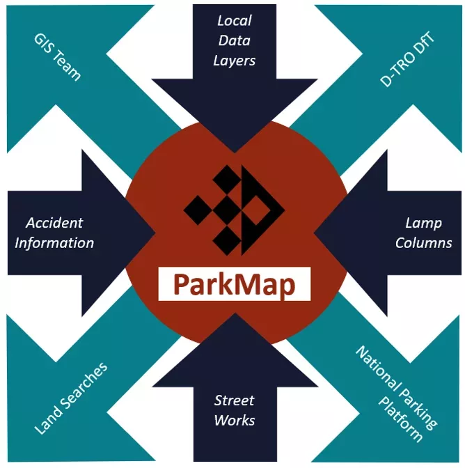
Both councils are using Buchanan Computing’s ParkMap platform, to automate other time intensive data collation processes including land search information and streetwork data. The ParkMap platform currently provides over 90 local authorities with an accessible map-based inventory of parking and moving traffic regulations.
BCP has recently started using data sharing to access search information about new permanent traffic schemes so that its land search team can quickly answer property search queries. Buchanan Computing worked with BCP to automate and incorporate the data it needed into their existing ParkMap system which was already being used for traffic order planning in the region. By automating the extra data provision they needed, it meant that the team saved huge amounts of time that would have been spent in manually exporting that data and incorporating it into their existing platform.

Rob Walter from BCP Council says: “BCP Council has been working with Buchanan Computing to explore data migration of proposed traffic orders, once advertised, to our Land Charges team. They were keen to help us improve our service by automatically integrating the data so it is always readily available for land search enquiries.
“Having previously had to input information into Parkmap as we prepared proposals for consultation and then do a similar process again for a land charges system, the process is now seamless.
“We now handle this data once, and not only does it save time, but it is also accurate and always up to date. We are excited to continue working closely with Buchanan Computing to explore further innovations and improvements.”
In the same vein, Kent County Council wanted to be able to view ongoing roadworks in the region on their existing mapping system run by one.network. They asked if the streetwork information they needed, could be integrated into one.network’s platform so that they had all that they needed in one place. Buchanan worked with one.network to enable the data required to be shared to their mapping system, allowing Kent County Council to have a clearer overview of all the information they needed. The new data brings in a view of the one.network road network data alongside a direct data feed of the streetwork system, allowing for better planning of roadworks.
Kent County Council, Buchanan and asset management company Brightly are also working together on a data sharing project involving integration of speed limits into maps across Kent. The Council is currently using Brightly to map assets like street furniture, street lights etc across the area and the Council wanted that map to also carry information about speed limits to help with planning of new road layouts and needs for future road assets. Buchanan worked with Brightly providing speed limit information which was then integrated with Brightly’s own mapping system. The collaboration also allowed Buchanan’s ParkMap system a view of speed limits across Kent which could then be integrated with other datasets including Traffic Order information.
Robin Chantrill-Smith, Senior Parking and Traffic Regulation Officer at Kent County Council says: “Being able to view ongoing road works from the one.network platform within ParkMap has helped officers at Kent County Council to plan when new Traffic Orders are made so that the restrictions can be installed without delay. Being able to also share the parking restrictions from ParkMap with one.network gives officers drafting temporary orders within KCC up to date information on the restrictions that are currently in place on the network which is also really helpful.”
Alex Smith from Buchanan Computing says: “These examples show how data sharing can transform time consuming manual tasks within local government. Now the principle has been established, this process could be used to automate all sorts of data alongside traffic order information, including information on where Parking Apps operate across a region, information on where electronic charging points are located as well as GIS mapping layers used by local authorities. Both these integrations show how you can use data to make the traffic network better informed and how you can share data with other systems to create efficiencies.”