Following on from yesterday’s story in Highways News about the positive effects on children’s health that London’s Ultra-Low Emission Zone was proved to he having, Douglas Gilmour, Global Traffic Lead at TomTom, has reiterated the importance of considering the wider next step – using traffic intelligence to help cities identify where people, and in particular children, face the greatest exposure to traffic and road danger, and make better decisions on road space, public transport, active travel and avoidable stop-start journeys.
Children whose lung growth had been stunted by air pollution showed a striking recovery after London introduced its Ultra Low Emission Zone (ULEZ), according to new research.
Scientists say they were “stunned” by the speed at which children’s lungs appeared to catch up with those of children living in a less polluted area, providing what they believe is some of the strongest evidence yet that clean air zones can reduce the damage caused by pollution during childhood.
Researchers from the Universities of Bedfordshire, Oxford, Cambridge, Edinburgh and Southern California followed more than 3,400 primary school children in London and Luton for five years.

Says Gilmour:
“These findings are a welcome and important reminder that decisions about how we move around our cities can have a real impact on people’s health, particularly for children. Clean-air measures such as Ulez are designed to reduce harmful vehicle emissions. Yet creating healthier cities also means looking at the wider journey. That includes making streets safer, easier to navigate and less dependent on unnecessary vehicle movements.
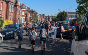
“That matters especially around the places children spend time every day. Whether that’s near homes, schools, parks and local high streets. Yes, cities need to understand air quality. But they also need a clear view of where traffic builds up, where vehicles spend long periods in stop-start conditions, and where people are most exposed to road danger. This gives authorities a clearer picture of where action will make the greatest difference.
“Reliable traffic and location data can support that work by helping transport authorities monitor changing travel patterns and target investment where it is most needed. It can inform decisions on road space, safer crossings and routes, public-transport priority, active travel, and how to reduce avoidable vehicle movements. Crucially, it allows policy to be based on what we can see is happening on the ground.
“The goal is more than moving vehicles safely and efficiently through a city. Rather, it is to create streets that work better for the people who live, walk, cycle, learn and work alongside them every day. When safety and mobility are planned together, cities have a better chance of making everyday journeys healthier and safer, whilst also keeping people and goods moving.”
This is an updated version of the story that appeared in Highways News on Friday 21 August.
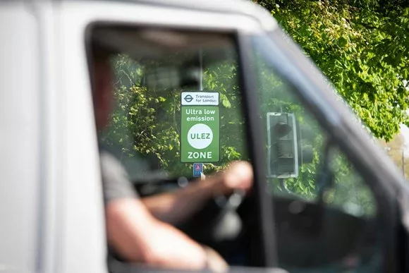
(Picture: TfL)